Unfinished wood, ready for you to finish - or painted and ready to use immediately upon arrival.
Each mute map comes with drilled holes in the proper locations.
Each mute and control has the outlines for each region drawn onto the board.
Choose the specific combination you want!
Cities, Towns, Villages and Regions (Political delineations)
Mute and/or Control
Corresponding Pin Flags: 19 red (use black lettering), 3 white for Nazareth, Bethlehem, and Jerusalem (use red lettering). 4 white for the regions (use black lettering)
Mountain Peaks (Natural Formation in a distinct location)
Mute and/or Control
Corresponding Pin Flags: 7 green flag pins (use black lettering)
Mountain Ranges, Waterways, Desert (Natural Formations over a Wide Area)
Mute and/or Control
Corresponding Pin Flags: 6 yellow flag pins (use green lettering on 5, black on 1), 4 blue flag pins
All Features (combines all of the above into one map)
Mute and/or Control
Corresponding Pin Flags: All 43 flags listed above
My recommendations:
Lower Elementary Faith Formation:
3 distinct maps with a corresponding booklet and its own box of pins. Coordinating control map which could be a photocopy of your mute map with labels added before finishing (mounting onto thick board and laminating, for example) or could be a full wood map with the labels in place.
Upper Elementary Faith Formation:
Each of the 3 distinct mute maps above, in addition to the full features map. One control map of all features.
Either use a booklet for each map or have a chart that the children fill in by reading specified Biblical verses as an additional reinforcement of these real places specified in the Bible.
At both levels, children should read the booklets or Bible, then utilize the atlas to identify each location and place it on the map.
The Pin Flags: All Features is also appropriate if you are ordering each of the three individual maps.
The geography of Israel 3-part cards are a downloadable file, with copyright permission to print for ONE atrium space.
Level 2 and 3 Geography: Booklets for the pin maps (not all cities are mentioned, page included directing children to use the charts); charts with all the locations; blank charts for the oldest children to read the Bible passages noted and write the geographical names within that passage. Options are included for both Hebron and without Hebron.
Enough here for both level 2 and Level 3 - one download is all that is needed for one atrium program (can be used in multiple atria within the same program)
Catholic Montessori, Religious Education, Catechesis of the Good Shepherd
Geography: Israel at the Time of Christ: Pin Maps
-
$0.00
Available Options
Related Products
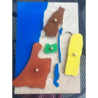
Geography: Israel at the Time of Christ: Regions Puzzle Map
Regions of Israel Puzzle Map - The Holy Land at the Time of JesusSelect from 2 core options: Pu..
$0.00
Montessori Faith Formation - Remaining Items
Additional Items of use in various placesLevel 3 Miniature Bibles: green for the Synagogue and fancy..
$0.00
Geography: Israel at the Time of Christ: Topographical Relief Map
3-dimensional Map of Israel for use in homes or in atrium. Standard size: 11"x17" Larger s..
$0.00
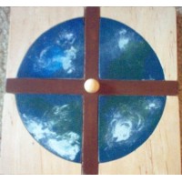
Cosmic Cross Puzzle
Jesus' love, exemplified by His death on the cross, covers the whole earthCosmic Cross puzzle availa..
$0.00
3-Dimensional Scripture Models - Unpainted
3-D Scripture ModelsThanks to +Joshua's generous offer to help me create something new, our 3-dimens..
$0.00
Scripture - Prophet Study: Upper Elementary and Adolescence
This Prophet Study set currently includes the following:---Prophets of Israel image to create a post..
$0.00
Geography: Montessori Globes
Montessori globes - hand-painted - 5-6 inches wide:Land and waterContinents (painted to match the pu..
$0.00
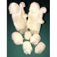
3D Nativity Set Figures - Unpainted
3-D Scripture ModelsThanks to +Joshua's generous offer to help me create something new, our 3-dimens..
$0.00
Infancy Narrative Sets
Everything Needed to Present Each Moment in the Infancy Narratives of the Gospels3D resin figures or..
$0.00
CUSTOM REQUEST - Geography: Israel at the Time of Christ Regions Puzzle Map
This is a custom request for a map of Israel at the Time of Jesus according to the instructions prov..
$0.00
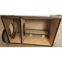
Empty Tomb Set: Model and Figures
Wooden Empty Tomb diorama can be used as-is or painted. It can be covered in additional material to ..
$0.00
Tags: Level 2, catechesis of the Good Shepherd, Montessori faith formation, 6-9, 9-12, children of light, Biblical Geography, Elementary Faith Formation, bible geography, geography, Level 3



-200x200.JPG)
