3-dimensional Map of Israel for use in homes or in atrium.
Standard size: 11"x17"
Larger size: 17"x24"
Custom sizes available upon request (may result in a different price), including 16x20
The topographical raised surface map of Israel highlights each of three main cities of Jesus' life, Nazareth, Bethlehem, and Jerusalem, with a symbol and name label for each. Symbols are a solid piece with a peg for inserting into the map. Names are wood-burned onto 1/4" thick rectangular pieces. Please indicate when you order if you would like a flame or a dove or a combination image for the Holy Spirit symbol.
Options - all options include one set of name labels and symbols:
- Raised Surface Map: assembled, with layers of plaster cloth to form the surface
- Raised Surface Map - Painted: fully painted and ready to use
- Blue waterways
- Beige land with sandy surface
- Kit to Assemble: all the wood pieces you need to assemble yourself and add texture/paint to your preference
- Kit Assembled: all the wood pieces glued together, ready for you to add the surface of your choice.
All options are available in the standard size as well as 17"x24".
The geography of Israel 3-part cards are a downloadable file, with copyright permission to print for ONE atrium space.
Additional sets of names and symbols, as well as replacements, are available as indicated.
Geography: Israel at the Time of Christ: Topographical Relief Map
-
$0.00
Available Options
Related Products
Montessori Faith Formation - 3-6 year olds
Unfinished wood for the preschool and kindergarten faith formation environment: Cenacle - Level..
$0.00
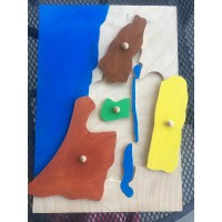
Geography: Israel at the Time of Christ Regions Puzzle Map
Regions of Israel Puzzle Map - The Holy Land at the Time of JesusSelect from 2 core options: Pu..
$0.00
Montessori Faith Formation - 6-9 years
Unfinished wood for the lower elementary faith formation environmentPlease see Remaining Wood Items ..
$0.00
Montessori Faith Formation - Remaining Items
Additional Items of use in various placesLevel 3 Miniature Bibles: green for the Synagogue and fancy..
$0.00
Geography: Israel at the Time of Christ: Pin Maps
Unfinished wood, ready for you to finish - or painted and ready to use immediately upon arrival.&nbs..
$0.00
Cosmic Cross Puzzle
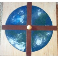
Jesus' love, exemplified by His death on the cross, covers the whole earthCosmic Cross puzzle availa..
$0.00
3-Dimensional Scripture Models - Unpainted
3-D Scripture ModelsThanks to +Joshua's generous offer to help me create something new, our 3-dimens..
$0.00
Geography: Montessori Globes
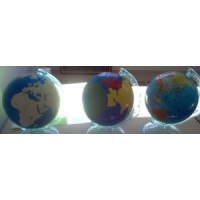
Montessori globes - hand-painted - 5-6 inches wide:Land and waterContinents (painted to match the pu..
$0.00
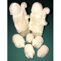
3D Nativity Set Figures - Unpainted
3-D Scripture ModelsThanks to +Joshua's generous offer to help me create something new, our 3-dimens..
$0.00
Infancy Narrative Sets
Everything Needed to Present Each Moment in the Infancy Narratives of the Gospels3D resin figures or..
$0.00
CUSTOM REQUEST - Geography: Israel at the Time of Christ Regions Puzzle Map
This is a custom request for a map of Israel at the Time of Jesus according to the instructions prov..
$0.00
Empty Tomb Set: Model and Figures
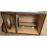
Wooden Empty Tomb diorama can be used as-is or painted. It can be covered in additional material to ..
$0.00
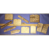
The Holy Bible: Books of the Bible
Holy Bible set that shows the length of each book of the Sacred Scriptures. Available for Catholics ..
$0.00
Tags: level 1, level 2, Montessori faith formation, catechesis, good shepherd, 3-6, 6-9, 9-12, land of israel, geography, land and water map, bible geography, biblical geography

-228x228.JPG)

-74x74.JPG)
-74x74.JPG)
-74x74.JPG)

-200x200.JPG)